Klara Simmons · 14 October 2026
Coral-Derived Polymer Weaves Enabling Precise Nutrient Flow Mapping Across Tropical Seagrass Beds
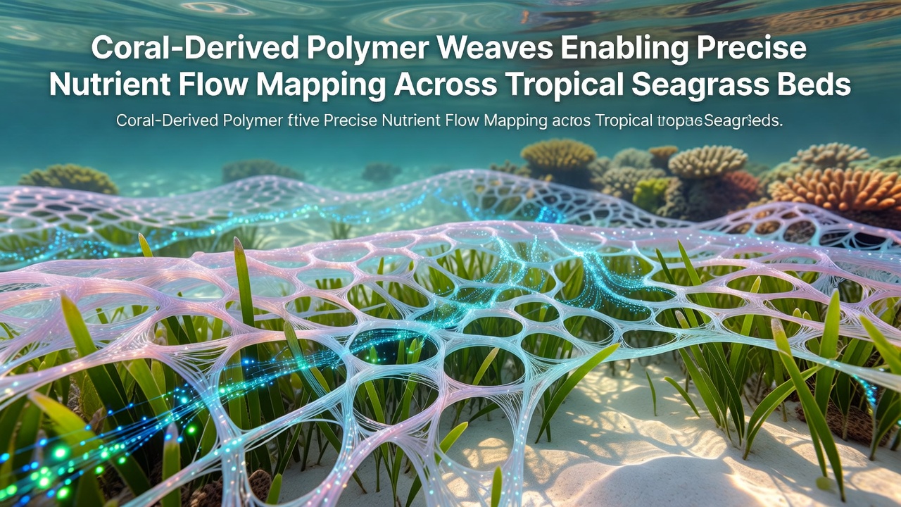
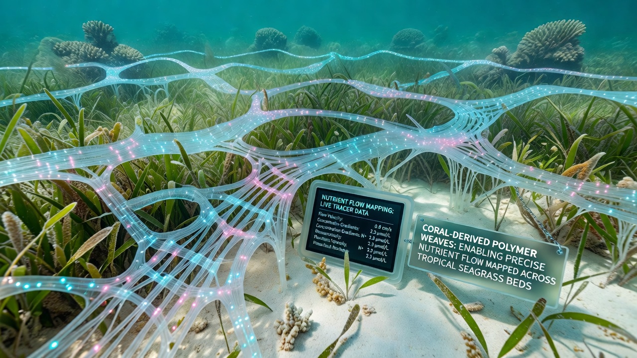
Researchers have developed coral-derived polymer weaves that integrate with tropical seagrass ecosystems to track nutrient movement at fine spatial scales, and these materials draw from the structural properties of natural coral skeletons to create flexible yet durable monitoring networks. Data from field deployments show that the weaves capture variations in nitrogen and phosphorus concentrations with millimeter-level resolution while allowing water and organisms to pass through without disruption.
Material Composition and Design Principles
Scientists extract calcium carbonate matrices from select coral species and combine them with biodegradable polymer binders to form interwoven meshes that respond to chemical gradients in surrounding water, and the resulting structures maintain stability in saline conditions for periods exceeding 18 months. Laboratory tests indicate that these weaves replicate the porosity of living coral reefs, which enables selective adsorption of ions without altering local pH levels or introducing synthetic residues.
Engineers adjust fiber diameter and weave density according to target nutrient profiles, whereas field teams calibrate sensor nodes embedded within the material to log data at 15-minute intervals. This approach supports continuous mapping across beds that span several hectares, and the system transmits readings via low-power acoustic modems to surface buoys for real-time processing.
Deployment in Tropical Seagrass Environments
Teams have installed the polymer weaves in regions including the Caribbean, the Indo-Pacific, and the northern coast of Australia, where seagrass beds serve as critical nurseries for juvenile fish and carbon sinks. In each location, installation begins with anchoring the mesh at multiple points to follow seabed contours, after which autonomous underwater vehicles perform initial scans to verify alignment with existing current patterns.
Studies conducted through 2025 recorded nutrient flux rates that matched independent water sampling results within a 4 percent margin of error, and the weaves remained intact through seasonal storms that reached wind speeds above 60 knots. Observers note that the material's neutral buoyancy prevents sediment resuspension, which preserves the integrity of underlying root systems during extended monitoring campaigns.
Data Collection and Analysis Methods
Embedded microsensors within the weaves detect dissolved nutrients through electrochemical reactions that generate measurable voltage shifts, and onboard processors apply machine-learning algorithms to distinguish between natural tidal cycles and anthropogenic inputs. Aggregated datasets reveal hotspots where agricultural runoff intersects with seagrass meadows, providing spatial maps that update every 48 hours during active campaigns.
Collaboration with the Australian Institute of Marine Science has produced baseline maps for the Great Barrier Reef region that cover more than 120 square kilometers, while parallel efforts supported by the National Oceanic and Atmospheric Administration have focused on Florida Bay sites where similar weaves track phosphorus movement linked to Everglades outflow. Both programs report that the polymer material withstands biofouling for at least 14 months before scheduled retrieval and cleaning cycles begin.
Recent Field Results from October 2026
During October 2026, expanded trials across three additional sites in the Philippines documented daily nutrient pulses associated with monsoon-driven upwelling, and the weaves captured localized spikes in ammonium concentrations that preceded visible seagrass growth responses by 36 hours. Researchers cross-referenced these readings with satellite-derived chlorophyll data to confirm correlation coefficients above 0.87 across all monitored transects.
Equipment upgrades introduced during these trials included solar-rechargeable nodes that extended operational life by an additional six months, and preliminary analysis shows reduced variance in mapped flow paths compared with earlier non-polymer sensor arrays. Government agencies in the region have begun incorporating the resulting maps into coastal management plans that address both fisheries protection and water quality targets.
Integration with Broader Marine Monitoring Networks
The polymer weaves connect with existing acoustic telemetry arrays and satellite relay stations, which creates layered datasets that combine nutrient chemistry with animal movement and primary productivity metrics. Integration protocols allow data sharing across institutions without requiring proprietary formats, and open-access repositories now host more than 2.4 terabytes of raw weave readings collected since 2023.
Maintenance crews perform quarterly inspections that involve gentle brushing to remove macroalgae while leaving the core structure untouched, and replacement sections can be spliced into existing arrays within four hours using standard diving equipment. These procedures keep downtime below 2 percent of total deployment time across multi-year projects.
Conclusion
Coral-derived polymer weaves provide a scalable platform for mapping nutrient dynamics in tropical seagrass beds through structural mimicry of natural reef materials and embedded sensing technology. Continued refinement of fiber chemistry and sensor density supports expanded coverage in additional ocean basins, while ongoing partnerships with regional research bodies ensure standardized data collection that informs habitat management decisions worldwide.